Weather is useful for modeling many things in STK. Therefore, STK's
Aviator capability uses NOAA wind services for route planning. See
Wind and Atmosphere Modeling in the STK Help for more information.
Also, there are several sources available to visualize data via KML, WMS, or other geospatial standards to which STK complies:
Note: Some of these files may take a few minutes to initially load.
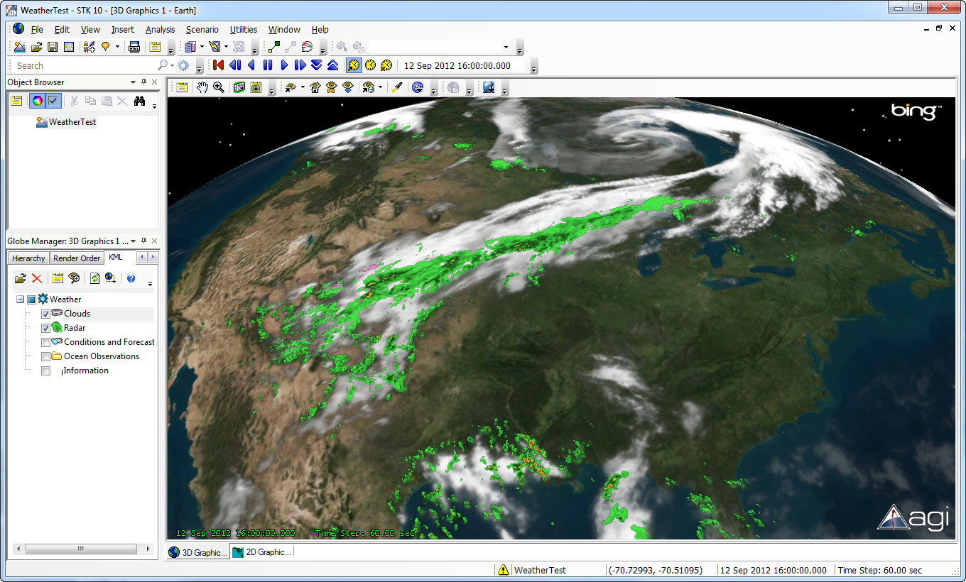
Important: For the Weather Channel KMZ,
do not click Conditions and Forecasts! It opens the current temperature for every city in the Weather Channel database and bogs down STK for a long time.