Here is how to find the altitude of the intersection of two sensors:
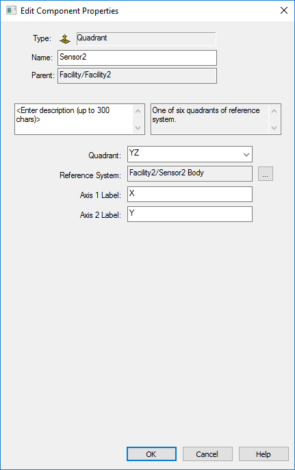
1. Use the Analysis Workbench – Vector Geometry Tool to create a Plane of Quadrant Type using the YZ Quadrant with the reference system being one of the two sensors.
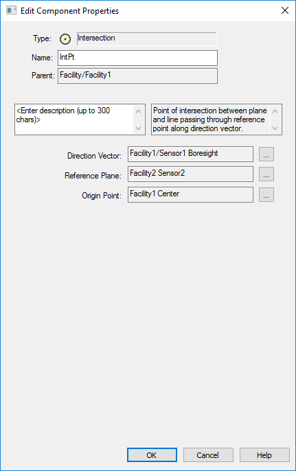
2. Create a Point of Type Intersection using the other sensor boresight vector direction, referencing the plane created above.
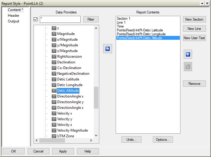
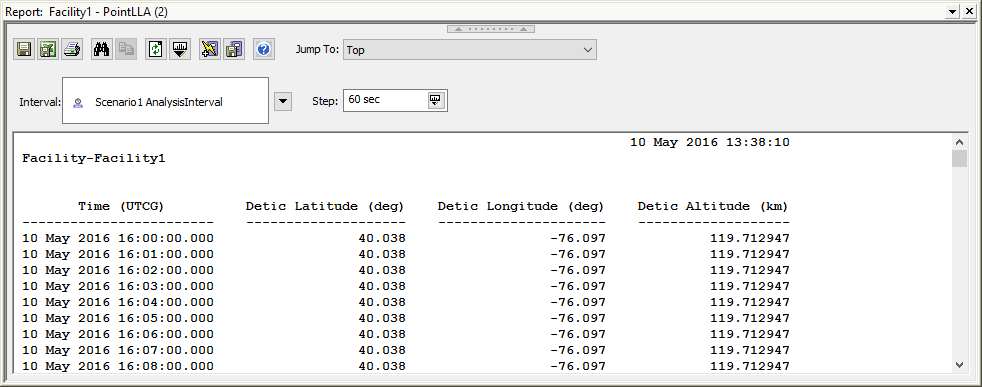
3. Report the Altitude of the Point by using a custom report style in the Report and Graph Manager. Select the Points (Fixed) Data Provider and choose "Detic Altitude" for the Point that you created.