Yes, STK supports streaming both terrain and imagery with local data for use offline.
Streaming Terrain: If your computer is not connected to the internet, you can connect STK to local streaming servers for terrain feeds by using the
Geospatial Content Server (GCS). GCS includes terrain for the entire earth. GCS encompasses functionality previously named "Terrain Server." This part of GCS enables you to ingest your raw terrain and then stream it efficiently as a quantized mesh.
Streaming Imagery: Option 1: GCS comes with global 10-meter resolution Sentinel 2 imagery and can stream user-provided imagery.
Option 2: You can stream imagery at no cost with the Web Map Services or ArcGIS Rest UI plugin, assuming you already have a local WMS or ArcGIS Rest service on the local network.
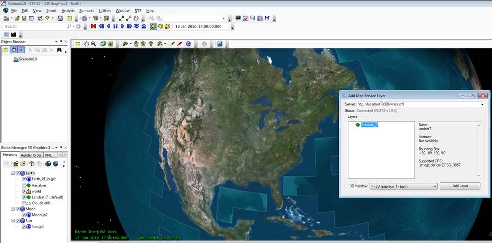
You can learn more about the WMS / WMTS plugin for STK at
STK Help > How to Use STK > Customization > STK Plugins > Web Map Services (WMS/WMTS) Plugin.
You can learn more about the ArcGIS Rest plugin for STK at
STK Help > How to Use STK > Customization > STK Plugins > ArcGIS REST Plugin.
If you would like to get a quote for GCS, send an email to info@agi.com or support@agi.com.
To learn more about using static imagery or terrain files (not streaming), please see the
L3 tutorial - Using External Terrain Data or the
STK Help > How to Use STK > Build a Scenario > Create a New Scenario >Set Scenario Properties > Terrain .

